Erickson's 'Faraway Ranch", Near Chiricahua NP

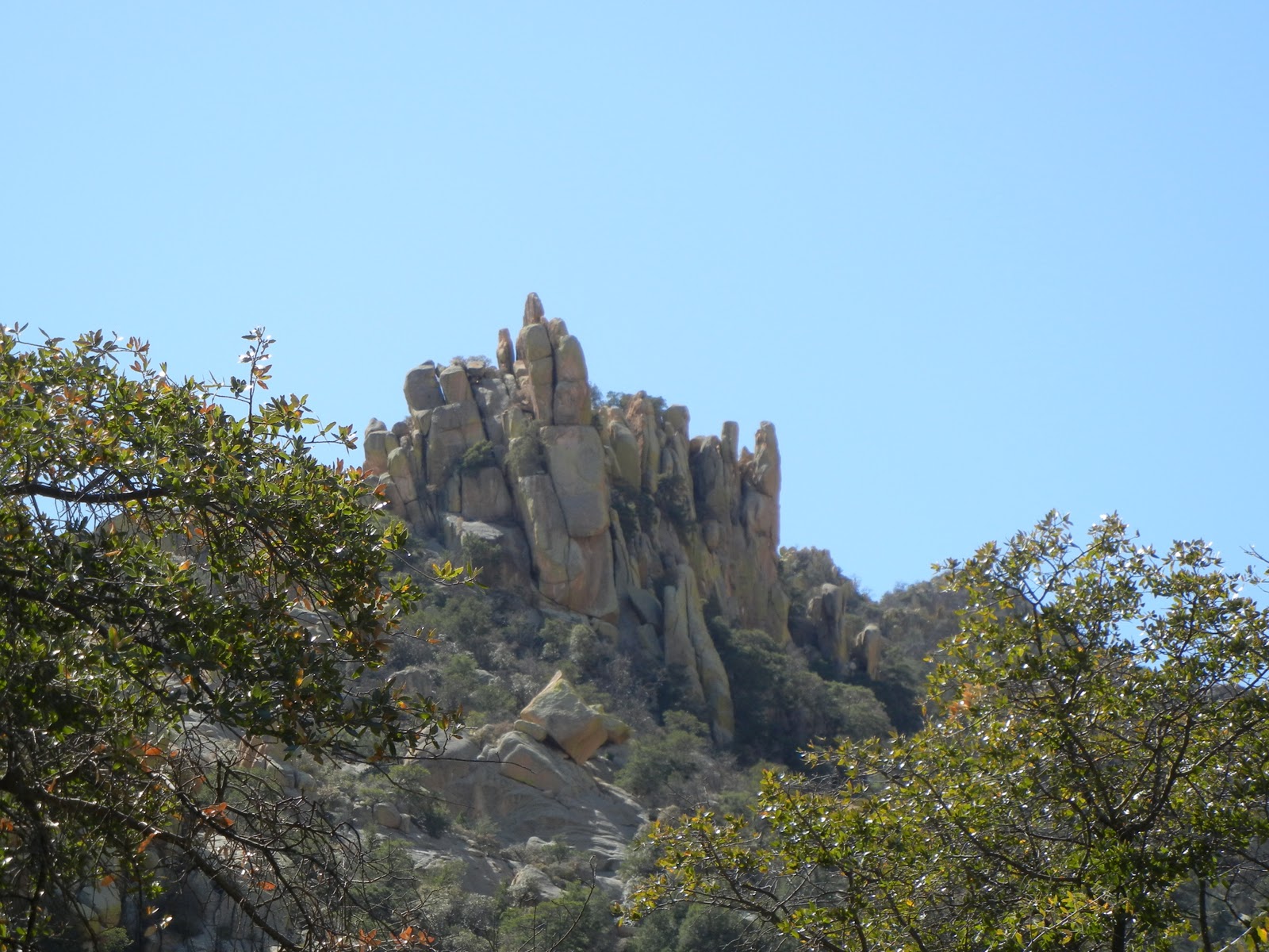
The eldest daughter of Swedish immigrants, Neil and Emma Erickson , Lillian with her husband Ed Riggs stayed on the home-stead after the other two children left to live their lives elsewhere, and used it as a guest ranch.  They led horse tours to the "Standing Up Rocks" in the Chiricahua NP.

A little family history.


A lovely home but an inside tour was available.

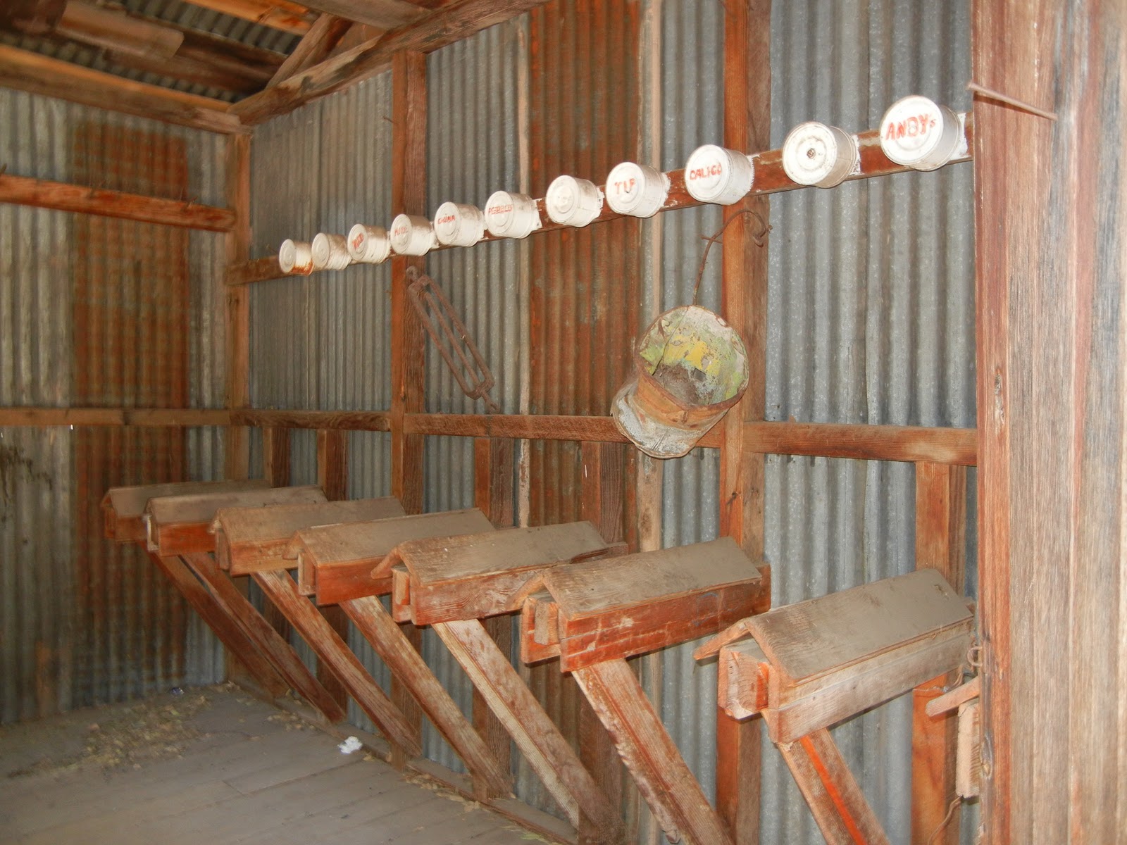
I think this is a chicken coop.  Notice that each one had a name.
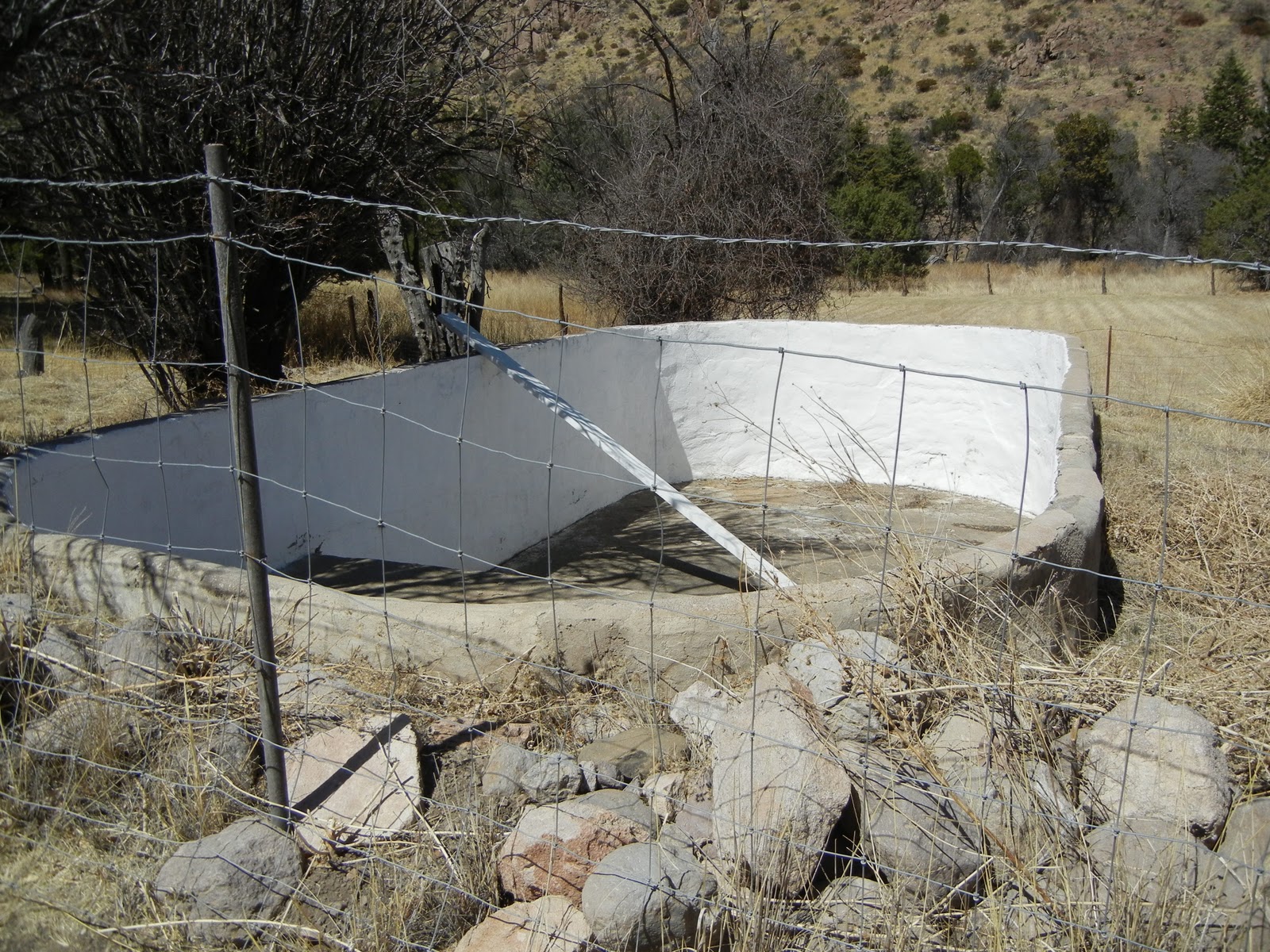
Wow, how could this pool be filled in arid AZ.
Rigg's family cemetery.

Fort Bowie National Park, AZ

What a great drive along a one lane dirt road leading to the trail head for the remains of the old Fort Bowie.  I hiked a 3.5 mile moderate hike round trip to the ruins site of the fort.

I could almost see and hear the noise of activity of the Army Soldiers there.  What remains is a fraction of the original size of the Fort.  Fort Bowie is located between Willcox and Bowie, AZ.  It was built in 1862 to guard the Butterfield Overland Trail and was the center of local military operations.  Some of the men had their wives and children there, miners sought protection there and prostitutes traded their wares there also.  The U.S. Cavalry fought with the Chiricahua Apaches until 1886 when Geronimo surrendered.

The visitors center is maned by a Park Service young woman who lives on site she said.  This place is MILES from anywhere! The visitors center was very nice and the water fountain outside had very cold wonderful water, I had downed all mine and sure was glad to have this wonderful drink.

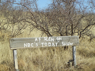
Saw this sign on the road to Fort Bowie.
Butterfield Overland Trail.  Many of the mail carriers, civilians and soldiers were killed along the route.
When Fort Bowie was alive and active.
This is the grave of one of Geronimo's  children, a son.  All the soldiers buried here were moved to a cemetery near San Fransisco in 1895 after the cemetery was abandoned in 1894.  Only civilians are buried here.  All the remaining markers were restored.    


This is the Apache Spring where water was gotten for the fort and area Apache people.  It is fed from a stream higher than the fort and runs through the fort also.
The restoration walls of one of the buildings.  The area is huge and has many building that are preserved with protective material on the walls.
Powder magazine building.


A long lost area with a huge past. 


The soldiers riding out of the fort.

Rattlesnake Ranch near Gleeson, AZ


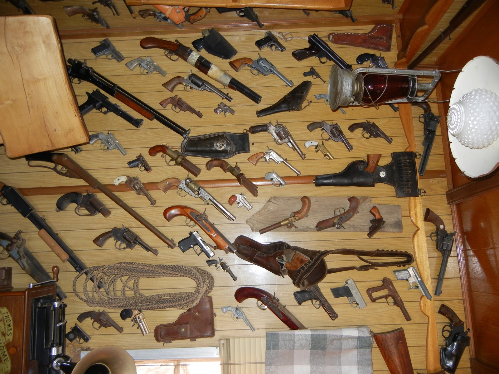
What an interesting place.  The yard is filled with old and antique things of history for yard, farming, and household articles on both sides and in a large maze-like square.  The place is way out in nowhere land between Tombstone and Gleeson. 


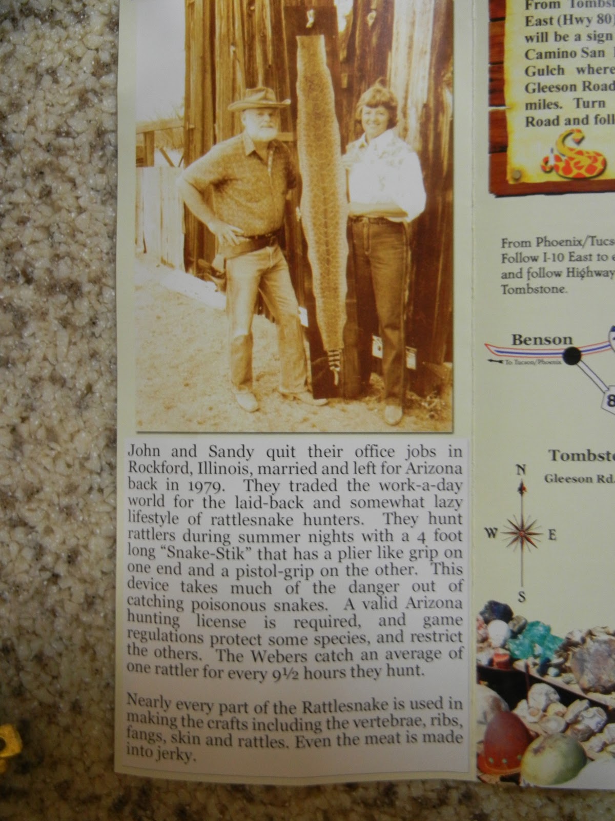
Check out some of these amazing things this couple has collected.  They have lived here for "nearly 20 years" and rattle snake hunt every year.  Read about John and Sandy in the brochure above.
In a little trailer you can see everything from belts to wallets, buttons to phone cases and knife sheaths, all made out of or covered in snake skins from a multitude of variety a of rattle snakes.


Can you believe these ribs (not vertebra) from the snake?

Woodpecker in Cochise Stronghold

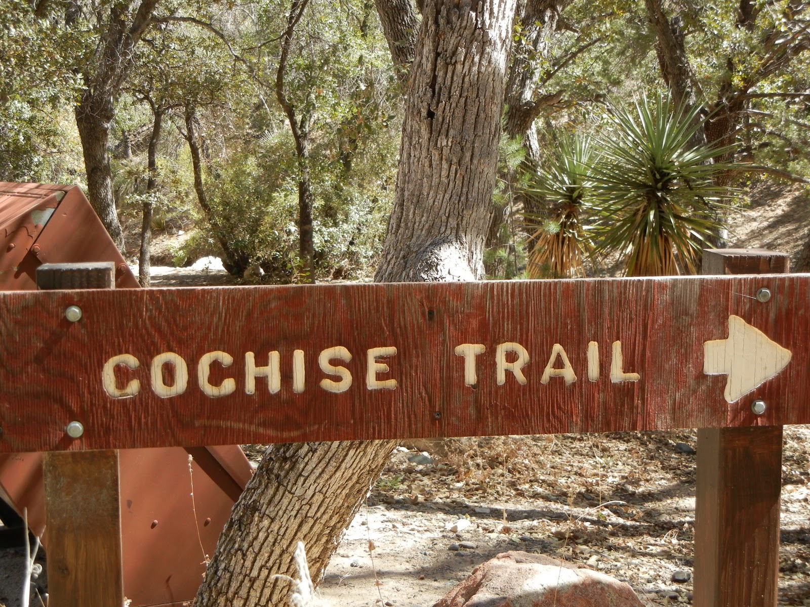
Viv Grybko and a fellow staying at Willcox Elks, Warner Miller, and I drove to Cochise Stronghold and I caught these great shots of an Acorn Woodpecker on a tree about 5 feet from us. 


We drove from Willcox to Cochise Stronghold down to Tombstone via Middlemarch Rd. which was dirt and rocks and was lots of fun in the Jeep, on through Gleeson toward Elfrida where we discovered the "Rattlesnake Ranch".  I had been there a few years ago but had lost the photos on a CD crash.  See next post.
 The route we took is here on the map and looks a little like a shoe.


Our trip was 115 miles but was great fun.  Much of the drive was on dirt and rock roads, mostly well maintained.  The drive over Dragon Mountain peak was a one lane road with a shear cliff during part of the drive.

We drove through Kansas Settlement, and back into Willcox arriving at 4:30.  A great 6 1/2 hours day!

SNOW !!!

 It rained most of the night and some time in the early hours it snowed.  The snow on the mountain near here in Sahuarita, AZ is all the way down, too far away to get a picture however.  

Pima Mina Tour, Sahuarita AZ


Pima Mine Tour near Sahuarita AZ right near the Desert Diamond Casino .  What an amazing place!  It mines copper.  The metal, hidden within the rock and dirt is extricated by blasting, shoveling, and hauling in huge trucks with this size tire!  The huge rocks start out several feet in size and after the milling process the result is literally a powder form of copper and rock dust.  The final step of this powder is to be sent all over the country and world for the final step to get the final product of copper. Mexico owns this mine, unreal!
 

An open mine is a stair step looking hole.  The roads are barely wide enough for two lanes to hold the huge equipment.  The water trucks work 24/7 to keep the dust down and the mill is also 24/7.

This cable is actually 6 inches across and the 3 large copper centers are over 1 inch across.
Mary Marcus and I.  Can you believe the size of this truck?  It holds 75 tons which only takes 5 shovel fulls to fill.
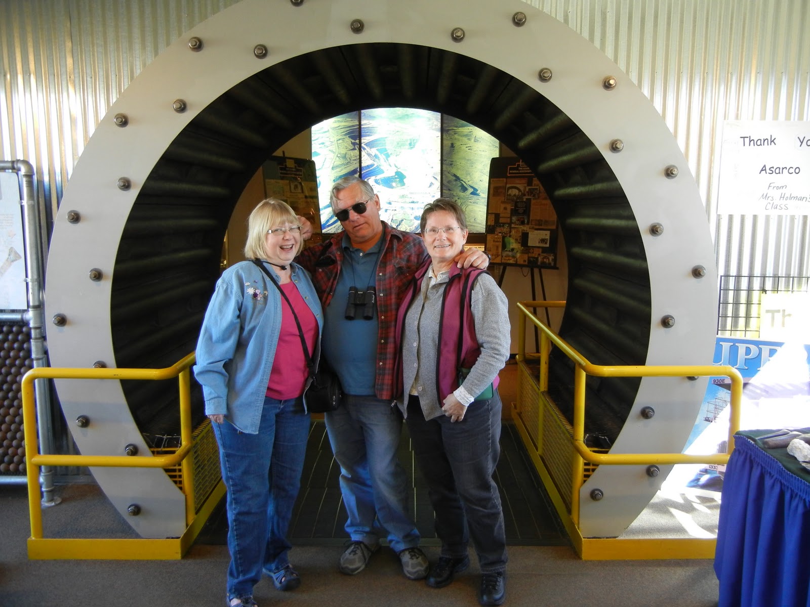
Guess who?  Mary, Dan and me.  This is a cut away section of a rolling drum that holds 5 inch steel balls that roll around with the rock product to beat it down to smaller size.  the balls last in size only about 2 weeks.
This is definitely a cactus annomilly at the entrance of the mine tour.

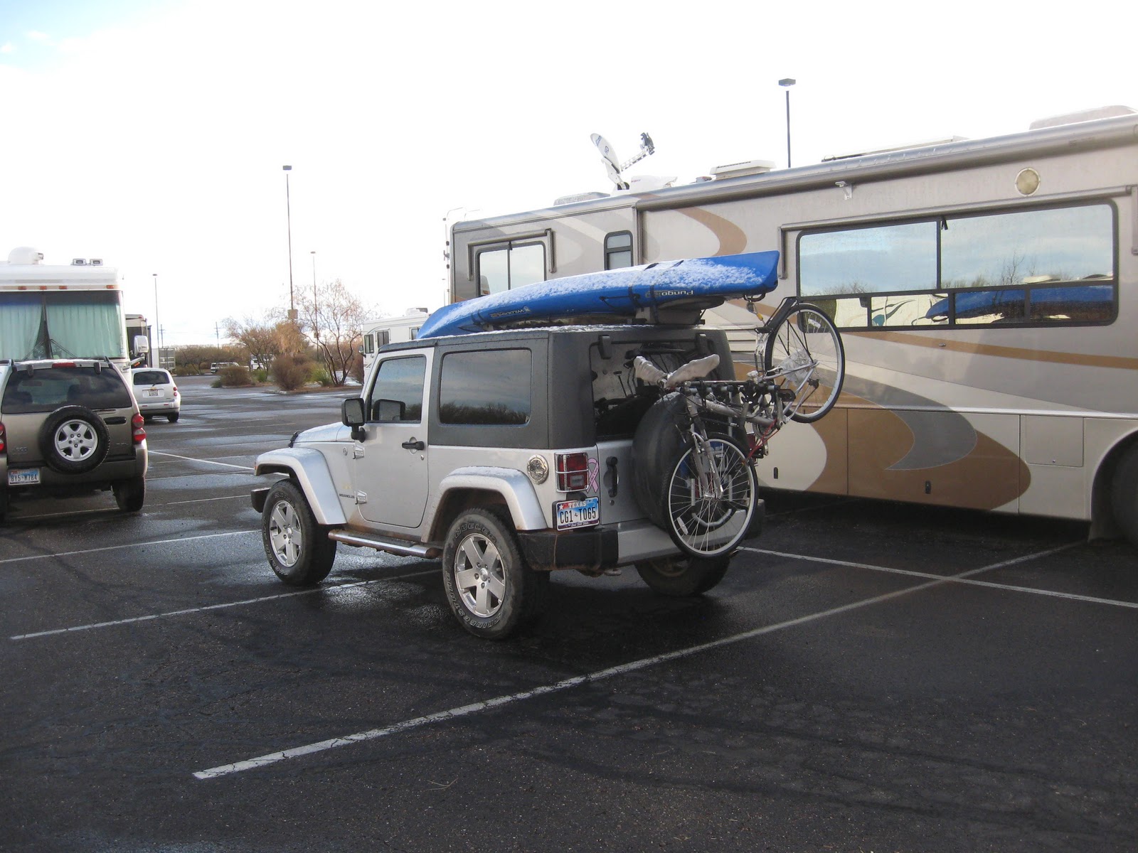
My Jeep is Offical Now

Well, I did it. I have been on three off road excursion now.  I have mud, dirt, dust, pinstripes and real scratches to prove it.  My proof is a little washed out due to the rain we had.  There was one area I refused to go, it was steep and at an angle.  As a "new-by" I decided to use my better judgment, for now anyway. I did go on one hill though.  Look at the video. 


Dan, Max and me.