Roosevelt NP, Arizona

I spent a great 10 days at the "Windy Hill" campground near Roosevelt Lake in mid March with the WIN's.  I have never been here and was just loving how beautiful it is.  I took a 270 mile drive one day by my self from camp, up 188 through Payson up to the Mogollon Rim and back down route 288 through a little town called Young.  I got some fire wood for our camp from a nice logger fellow, took great shots of a beautiful bird right out of my RV window, and other fun photos.  Enjoy.


Tonto NP Lower Cliff Dwelling.  I hiked one mile up here to this one also.

Just me.

Great hike to the Upper dwelling.


Here is some of the group on the 3 mile hike up to the dwelling.

So pretty! Took this on the way up.

Finger prints of the Indians from over 700 years ago to make the mud walls.

A little of the the inside of the dwelling.

Some of us went on a drive and crossed the river on the way back.
We were warm in the camp area and this is the snow at the Mogollon Rim.

ALSO at Roosevelt NP

These three Cardinals, two female and one male were caught on camera through my RV window.  They are tinted so the birds could not see me taking their picture.


Chiricahua NP, the "Standing Up Rocks"

What a beautiful drive it was to see these amazing rocks.  The road was mostly dirt and one lane.  I drove to nearly 7000 feet altitude and even saw snow.  The road up to and down from the peak was a narrow, very S turn curvy, one lane road and I did not see any other cars on the 50+ miles through the mountain.  Once I descended a few miles out of Paradise (a tiny little town) I saw humanity.  I drove 168 miles from Willcox, which included a back road for another trip back to Fort Bowie, right up to the visitor center so Viv Grybko could enjoy the Fort and back to Willcox from Paradise to Hwy 10 and back to Willcox.


Erickson's 'Faraway Ranch", Near Chiricahua NP

The eldest daughter of Swedish immigrants, Neil and Emma Erickson , Lillian with her husband Ed Riggs stayed on the home-stead after the other two children left to live their lives elsewhere, and used it as a guest ranch.  They led horse tours to the "Standing Up Rocks" in the Chiricahua NP.

A little family history.


A lovely home but an inside tour was available.

I think this is a chicken coop.  Notice that each one had a name.
Wow, how could this pool be filled in arid AZ.
Rigg's family cemetery.

Fort Bowie National Park, AZ

What a great drive along a one lane dirt road leading to the trail head for the remains of the old Fort Bowie.  I hiked a 3.5 mile moderate hike round trip to the ruins site of the fort.

I could almost see and hear the noise of activity of the Army Soldiers there.  What remains is a fraction of the original size of the Fort.  Fort Bowie is located between Willcox and Bowie, AZ.  It was built in 1862 to guard the Butterfield Overland Trail and was the center of local military operations.  Some of the men had their wives and children there, miners sought protection there and prostitutes traded their wares there also.  The U.S. Cavalry fought with the Chiricahua Apaches until 1886 when Geronimo surrendered.

The visitors center is maned by a Park Service young woman who lives on site she said.  This place is MILES from anywhere! The visitors center was very nice and the water fountain outside had very cold wonderful water, I had downed all mine and sure was glad to have this wonderful drink.

Saw this sign on the road to Fort Bowie.
Butterfield Overland Trail.  Many of the mail carriers, civilians and soldiers were killed along the route.
When Fort Bowie was alive and active.
This is the grave of one of Geronimo's  children, a son.  All the soldiers buried here were moved to a cemetery near San Fransisco in 1895 after the cemetery was abandoned in 1894.  Only civilians are buried here.  All the remaining markers were restored.    


This is the Apache Spring where water was gotten for the fort and area Apache people.  It is fed from a stream higher than the fort and runs through the fort also.
The restoration walls of one of the buildings.  The area is huge and has many building that are preserved with protective material on the walls.
Powder magazine building.


A long lost area with a huge past. 


The soldiers riding out of the fort.

Rattlesnake Ranch near Gleeson, AZ


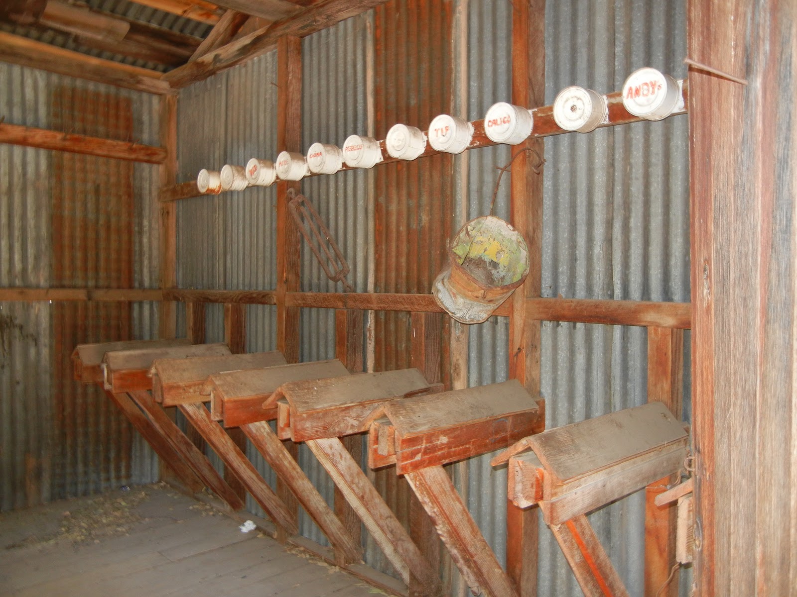
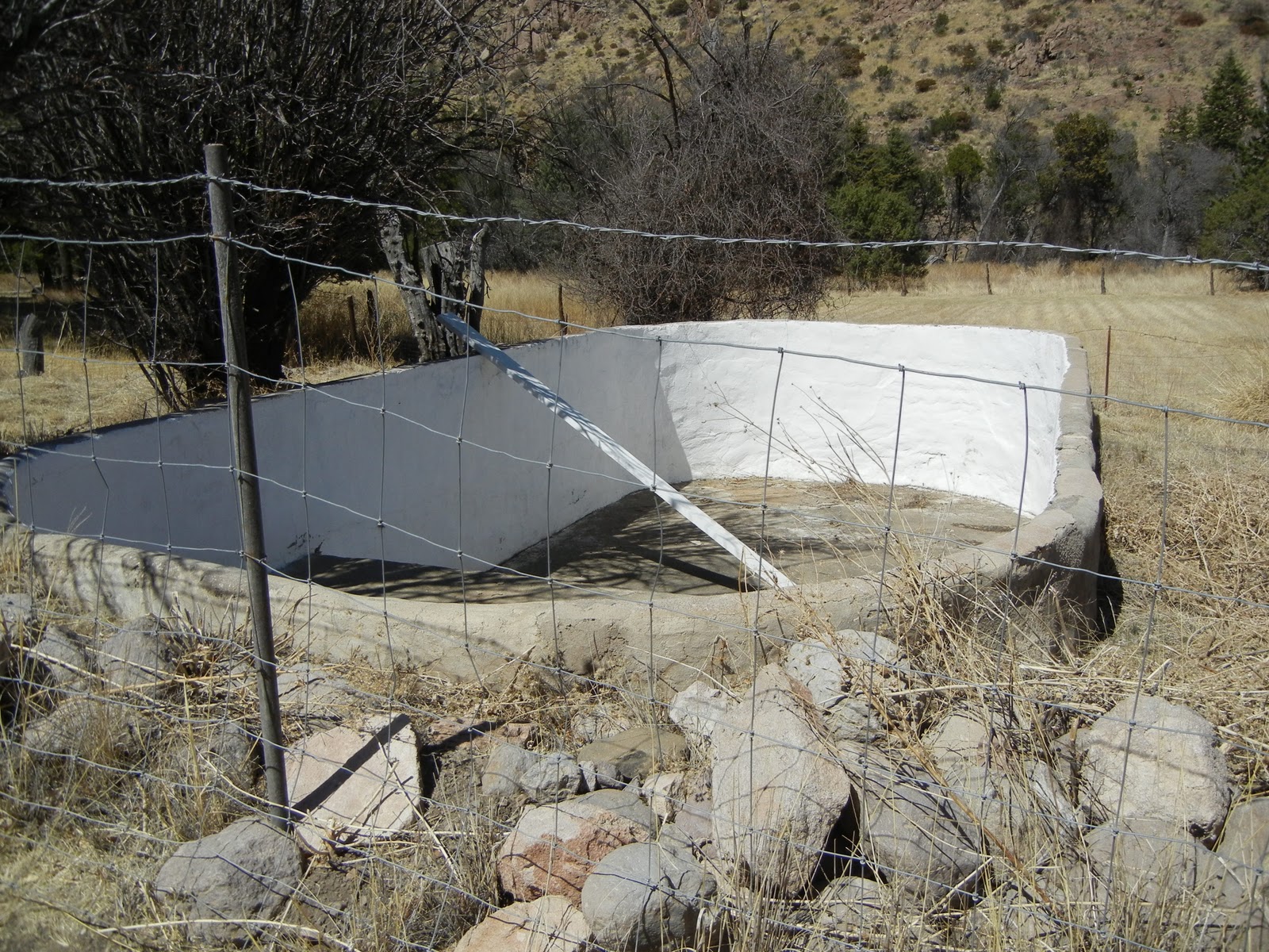
What an interesting place.  The yard is filled with old and antique things of history for yard, farming, and household articles on both sides and in a large maze-like square.  The place is way out in nowhere land between Tombstone and Gleeson. 


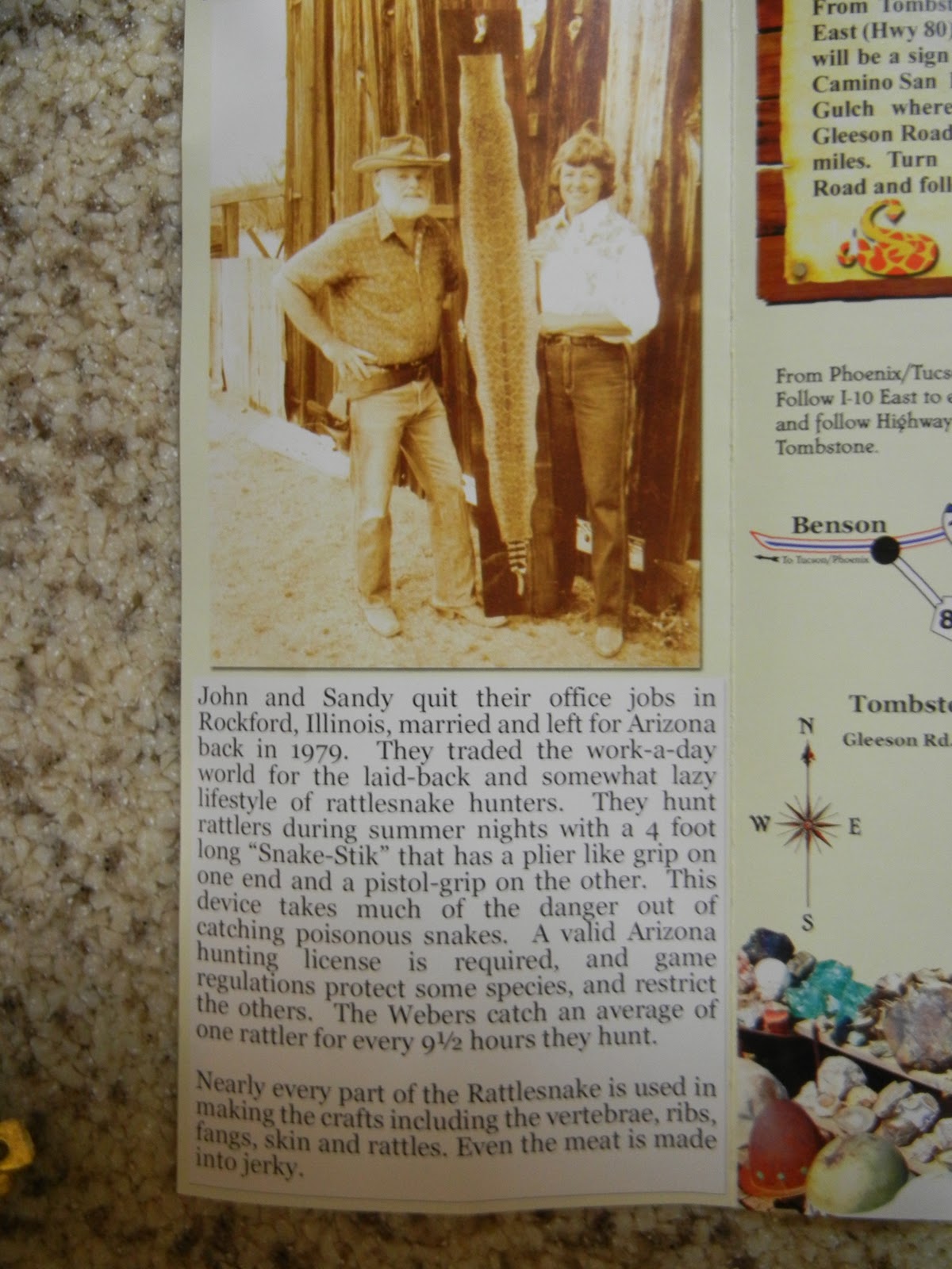
Check out some of these amazing things this couple has collected.  They have lived here for "nearly 20 years" and rattle snake hunt every year.  Read about John and Sandy in the brochure above.
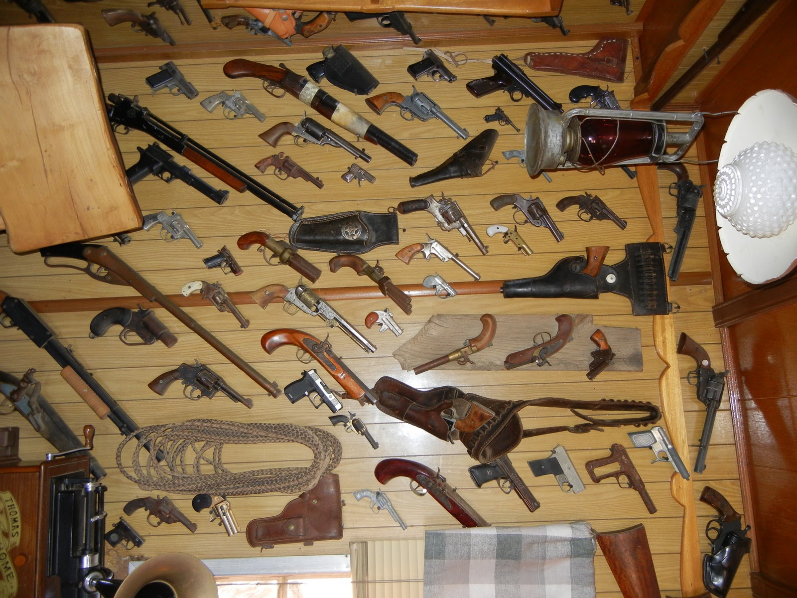
In a little trailer you can see everything from belts to wallets, buttons to phone cases and knife sheaths, all made out of or covered in snake skins from a multitude of variety a of rattle snakes.


Can you believe these ribs (not vertebra) from the snake?